×


پیوند ها
ارزیابی جانمایی دستگاه لیزر اسکنر زمینی در پروژههای برداشت نقشهبرداری
با الگوریتم ژنتیک
10 صفحه فایل ورد به همراه ترجمه عالی آن به زبان انگلیسی
چکیده:
با استفاده از دستگاه لیزر اسکنر زمینی امکان مدلسازی کامل سهبعدی یک محدوده وجود دارد.
برای پوشش کامل محدوده بایستی دستگاه در نقاط مختلف مستقر و عملیات اندازهگیری انجام گیرد. اما جابجایی و افزایش نقاط استقرار، مستلزم صرف هزینه و زمان برای اندازهگیریهای میدانی بیشتر بوده و در نتیجه باعث افزایش زمان و هزینه محاسباتی خواهد شد. در این مقاله، هدف آن است که
ابزاری جهت ارزیابی نقاط انتخاب شده برای استقرار دستگاه لیزراسکنر زمینی ارائه شود. در این راستا، برای دستیابی به این هدف از الگوریتم بهینهسازی ژنتیک استفاده شده است. در روش پیشنهادی، ابرنقاط حاصل از هممرجع نمودن تمامی ایستگاههای استقرار دستگاه در محدوده اسکن، به عنوان فضای جستجوی الگوریتم ژنتیک استفاده میشود. همچنین تابع هزینه با دو هدف،
یکی کاهش نواحی پنهان در ابرنقاط نهایی و دیگری انتخاب کمترین تعداد ممکن نقاط استقرار
در نظر گرفته میشود. با انتخاب مجموعهای تصادفی از نقاط کاندید برای استقرار، به عنوان پاسخ اولیه، الگوریتم شروع به کار کرده و در فضای جستجو، در طی تکرارهای متوالی با اعمال عملگرهای انتخاب، تقاطع و جهش جواب بهینه مسأله جانمایی لیزر اسکنر زمینی را بدست میآورد. در این فرآیند، انتخاب بهینه نقاط استقرار دستگاه به صورت اتوماتیک و تکراری بوده و اطمینان از چیدمان صحیح
با حداقل تعداد نقاط لازم برای اندازهگیری کامل محدوده حاصل میشود. نتایج این تحقیق بر روی دادههای واقعی و شبیهسازی نشان میدهد، با الگوریتم بهینهسازی ژنتیک میتوان نقاط بهینه برای استقرار دستگاه لیزر اسکنر را از میان تعداد بسیار زیادی از نقاط کاندید انتخاب کرد. بدین وسیله، ابزاری برای ارزیابی بهینه بودن نقاط استقرار انتخابشده ایجاد میشود.
Terrestrial Laser Scanner Locating assessment in Surveying Projects with Genetic Algorithm
Abstract
There is the possibility of complete modeling using terrestrial laser scanner. For complete coverage of the target region for the scan, the device must be located in various locations and carried out measurement operations. Nevertheless, the movement to increase the deployment requires more cost and time for field measurements, and thus increases the computed time and cost. In this paper, the goal is to provide a tool to assess the selected locations for the deployment of terrestrial laser scanners. In this regard, to achieve to this goal the genetic optimization algorithm is used. In the proposed method, the total registered point cloud implementation of all stations in the range of scanning devices is used as the search space for the genetic algorithm. The cost function with two goals, a reduction in occlusion areas other end of the taken of the fewest possible points for placements. By selecting a random set of candidate locations for placement as an initial response, the algorithm is started to obtain optimal layout placement and in the search space during successive iterations by applying the selection operators, crossover and mutation. In this process, the optimal choice of device placement is automatic and repetitive and ensure correct alignment is achieved with the minimum number of points required for full measurement. The results show that the genetic optimization algorithm to optimize the laser scanner device placements across a large number of the selected candidate. Thereby, it can be created a tool to assess the efficiency of the selected placements
 فروش فیلتر بورسی استریکلی فقط 75 هزار تومان
 کسب درآمد اینترنتی 300000 تومان در خانه در کمتر از 30 دقیقه
 کسب و کار اینترنتی با درآمد میلیونی
 روش درآمدزایی در خواب (تعجب نکنید! کلیک کنید و بخوانید)
 ربات همه کاره اینستاگرام
 کسب درآمد از هوش مصنوعی ماهیانه حداقل ۱۲ میلیون تضمینی
 کسب درآمد روزانه حداقل یک میلیون تومان ! کاملا حلال و واقعـی !!
 کسب درآمد ابدی و بی نهایت 100% واقعی
 مجموعه ی آموزش تعمیر لامپ کم مصرف (از مبتدی تا پیشرفته)
 افزایش ممبر کانال، گروه و ربات تلگرام به صورت بی نهایت (اد ممبر)
 دانلود مجموعه آموزشی پایپینگ ( Piping ) و نقشه خوانی + آموزش سه نرم افزار طراحی و تحلیل لوله کشی صنعتی
 آموزش برنامه نویسی آردوینو
 آموزش بازكردن انواع قفل ها بدون كليد(ويژه)
 کسب و کار اینترنتی در منزل
 آموزش رایگان کسب درآمد از سایت الیمپ ترید ( olymp trade )
 بازگردانی پیامک های حذف شده- ریکاوری پیامک ۱۰۰٪ عملی
 اموزش ویرایش امضا و پکیج برنامه اندروید و کسب درامد از مارکت های اندرویدی
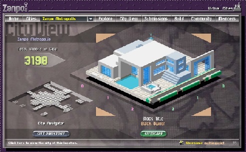 آموزش ساخت بازی بدون دانش برنامه نویسی و طراحی سه بعدی مبتدی تا پیشرفته با نرم افزار
 کد های آماده html و css جهت یادگیری و طراحی سریع
 اموزش کسب درامد از اینترنت روزانه ۳میلیون تومان تضمینی و تست شده 1403
 درامدزایی در خواب! (تعجب نکنید! بخوانید)
 نسخه خطی اشعار و پیشگویی های شاه نعمت الله ولی
 آموزش كامل تعمير لامپ كم مصرف(اختصاصي)
 نسخه خطی اشعار و پیشگویی های شاه نعمت الله ولی
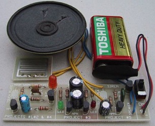 مدار داخلی واکی تاکی(اموزش ساخت)
 کتاب افزایش ممبر کانال تلگرام
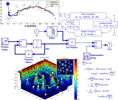 دانلود پاورپوینت فیلتر کالمن بر روی یک سنسور شتاب سنج برای تخمین سه متغیر حالت
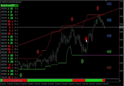 اندیکاتور ای کیو آپشن
 دانلود100% رایگان نرم افزار تبلیغات در تلگرام + آموزش کامل و فیلم آموزشی


